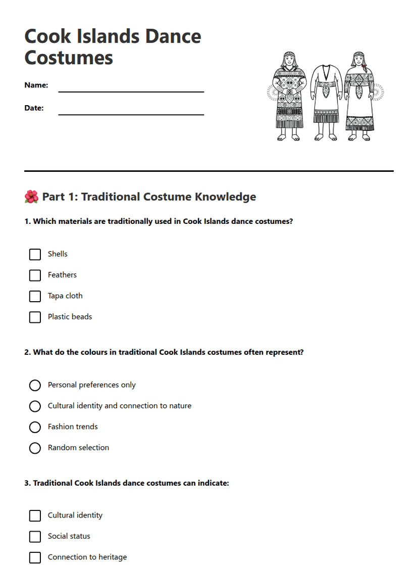
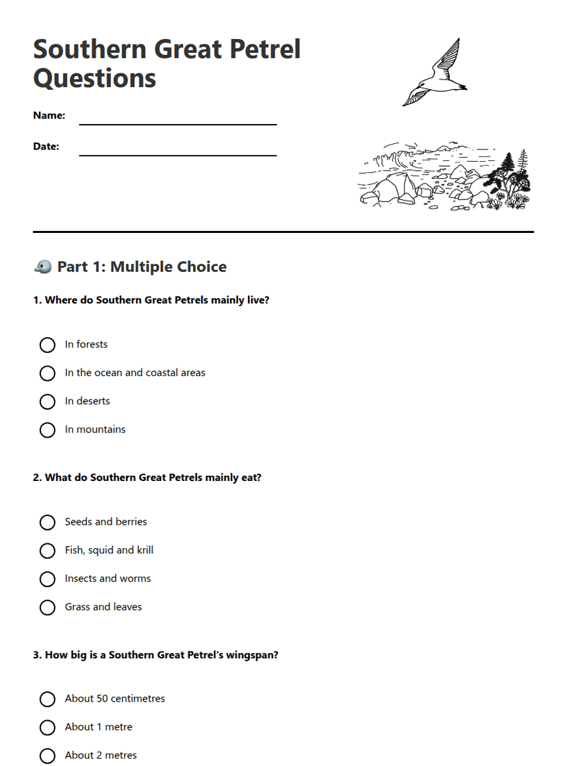
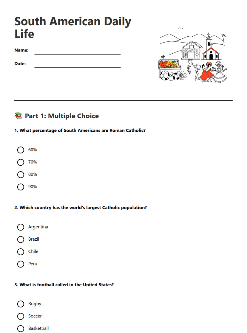
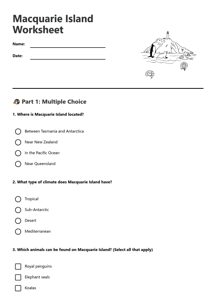
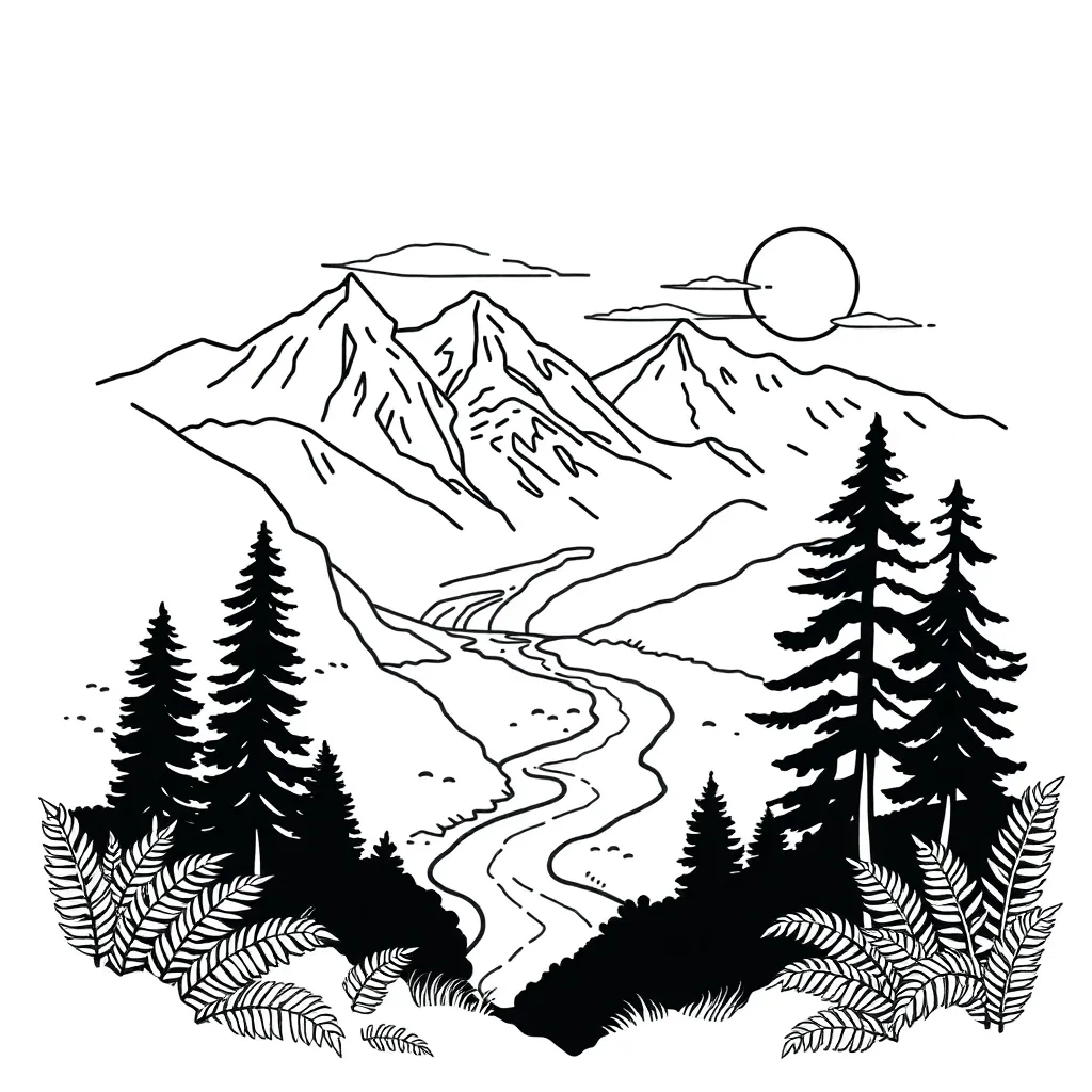
South Island High Country Evolution
A free, printable general worksheet ready for your classroom. Download instantly, print, and hand out to your students — no account needed.
South Island High Country Evolution
🏔️ Phase 1: Gondwana Land and Ancient New Zealand (200-300 Million Years Ago)
Sediment from ancient Gondwanaland was deposited to depths of up to _____________ metres in the _____________ Basin. Under pressure, this became _____________ rock, and where heat and pressure were most intense, it metamorphosed into _____________.
⛰️ Phase 2: The Rangitata Orogeny (125-200 Million Years Ago)
🌋 Phase 3: Kaikoura Orogeny (25-10 Million Years Ago - Today)
The western side of the Alpine Fault moved _____________ relative to the eastern side at a rate of _____ to _____ cm per year. This resulted in approximately _____________ km of total displacement.
❄️ Phase 4: Erosion and Modern Landscape
🔄 Timeline Summary
About This Worksheet
Free Download
No sign-up, no email, no paywall. Just download and print.
Print-Ready
Formatted for standard paper. Clean layout, easy to read.
AI-Generated
Created with Kuraplan's AI, designed for real classroom use.
For Teachers & Parents
Use in classrooms, for homework, tutoring, or homeschool.
Need a custom version of this worksheet?
Kuraplan's AI generates custom worksheets in seconds — differentiated for every learner, aligned to your curriculum.
Generate Custom Worksheets — Free