South American Geography Study
A free, printable general worksheet ready for your classroom. Download instantly, print, and hand out to your students — no account needed.
South American Geography Study
🎯 Learning Goals
I can...
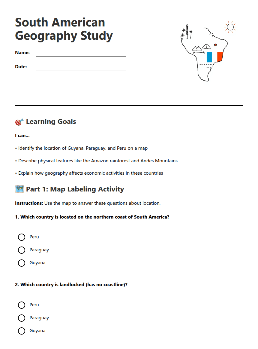
• Identify the location of Guyana, Paraguay, and Peru on a map
• Describe physical features like the Amazon rainforest and Andes Mountains
• Explain how geography affects economic activities in these countries
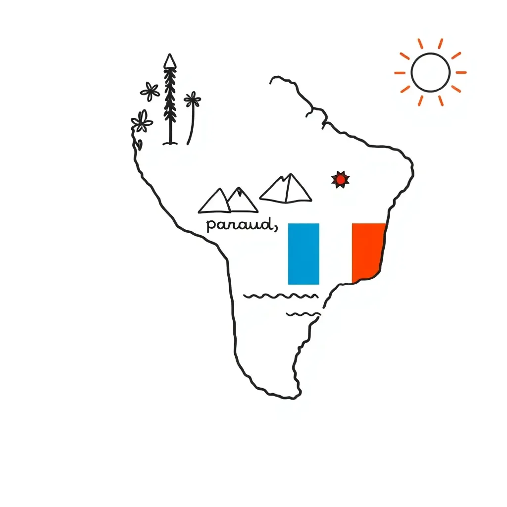
🗺️ Part 1: Map Labeling Activity
Instructions: Use the map to answer these questions about location.
📚 Part 2: Geography and Economics
Read and Answer:
Peru is a country of dramatic contrasts, stretching from the Pacific Ocean in the west to the Amazon rainforest in the east. The towering Andes Mountains run north to south through the center of the country, creating three distinct regions. The coastal desert region is home to most of Peru's cities and farmland, where people grow crops like asparagus and grapes for export. High in the Andes Mountains, at elevations over 12,000 feet, indigenous communities have mined precious metals for centuries. Today, Peru is one of the world's largest producers of copper, gold, and silver. The eastern slopes of the Andes lead into the Amazon basin, where dense rainforests cover over half the country. Here, people practice sustainable farming, growing coffee, cacao (for chocolate), and tropical fruits. The Amazon region also provides timber and medicinal plants, though logging is carefully controlled to protect the environment.
Guyana sits on South America's northern Atlantic coast, covered by over 80% tropical rainforest. The narrow coastal plain, where most people live, lies below sea level and is protected by sea walls built by Dutch colonists centuries ago. This fertile coastal area produces rice and sugar cane on large plantations. Guyana's thick interior forests contain valuable hardwood trees like greenheart and purpleheart, which are exported worldwide for construction and furniture. The country's rivers flow northward from the Guiana Highlands, creating spectacular waterfalls like Kaieteur Falls, which is five times taller than Niagara Falls. These rivers also reveal Guyana's mineral wealth - the country is a major producer of bauxite (aluminum ore) and gold. Large bauxite mines operate in the interior, while thousands of small-scale miners pan for gold in the rivers and streams. Guyana's location on the Atlantic Ocean provides excellent access to shipping routes, making it easier to export these natural resources to North America and Europe.
Paraguay is unique as one of only two landlocked countries in South America, surrounded entirely by Brazil, Argentina, and Bolivia. The Paraguay River flows north to south through the center of the country, dividing it into two very different regions. Eastern Paraguay features rolling hills, fertile soil, and abundant rainfall, making it perfect for agriculture. Here, large farms grow soybeans, corn, and wheat, while cattle ranches raise beef cattle on the grasslands called pampas. Western Paraguay, known as the Chaco, is a vast, dry plain with sparse population and wildlife like jaguars and giant anteaters. Despite having no ocean access, Paraguay has found creative ways to transport goods. The Paraguay River connects to the Paraná River system, allowing barges to carry soybeans and beef all the way to the Atlantic Ocean through Argentina. Paraguay also generates enormous amounts of hydroelectric power from dams on its rivers, producing so much clean energy that it exports electricity to neighboring Brazil and Argentina. This makes Paraguay one of the world's largest exporters of renewable energy.
Answer: _________________
About This Worksheet
Free Download
No sign-up, no email, no paywall. Just download and print.
Print-Ready
Formatted for standard paper. Clean layout, easy to read.
AI-Generated
Created with Kuraplan's AI, designed for real classroom use.
For Teachers & Parents
Use in classrooms, for homework, tutoring, or homeschool.
Need a custom version of this worksheet?
Kuraplan's AI generates custom worksheets in seconds — differentiated for every learner, aligned to your curriculum.
Generate Custom Worksheets — Free