FreePrintable
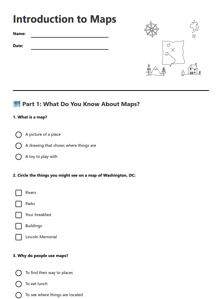
Introduction to Maps
A free, printable general worksheet ready for your classroom. Download instantly, print, and hand out to your students — no account needed.
Introduction to Maps
🗺️ Part 1: What Do You Know About Maps?
1. What is a map?
A picture of a place
A drawing that shows where things are
A toy to play with
2. Circle the things you might see on a map of Washington, DC:
Rivers
Parks
Your breakfast
Buildings
Lincoln Memorial
3. Why do people use maps?
To find their way to places
To eat lunch
To see where things are located
🏛️ Part 2: Map Symbols and Features
4. Draw a line to match each map symbol with what it shows:
🌳 Trees
🏢 Buildings
🌊 Water/River
Parks and forests
Houses and stores
Rivers and lakes
5. Fill in the blanks:
A _________ is a drawing that shows us where things are located.
The _________ Memorial is an important landmark in Washington, DC.
✏️ Part 3: Draw Your Own Map
6. Draw a simple map of our classroom. Show where you sit and include one important landmark like the door, window, or teacher's desk.
7. I Can Statement: Complete this sentence about what you learned:
I can explain that a map is ________________________________
and we use maps to ________________________________.
8. Extension Challenge: If you could make a map of your bedroom, what three things would you include to help someone find their way around?
About This Worksheet
Free Download
No sign-up, no email, no paywall. Just download and print.
Print-Ready
Formatted for standard paper. Clean layout, easy to read.
AI-Generated
Created with Kuraplan's AI, designed for real classroom use.
For Teachers & Parents
Use in classrooms, for homework, tutoring, or homeschool.
Need a custom version of this worksheet?
Kuraplan's AI generates custom worksheets in seconds — differentiated for every learner, aligned to your curriculum.
Generate Custom Worksheets — Free No credit card Curriculum-aligned Under 60 seconds