Central America Geography Worksheet
A free social studies worksheet ready for your classroom. Open in Kuraplan to grab the print-ready PDF, customize it for your students, or generate a fresh version in seconds.
Central America Geography Worksheet
📖 Reading: Central America Overview
I can identify the countries of Central America and describe how geography affects their culture and economy.
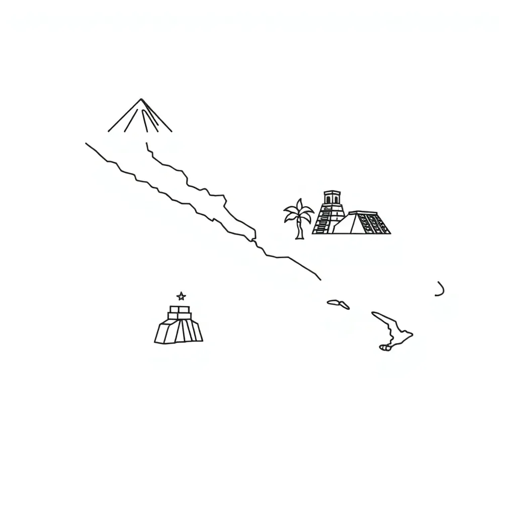
Central America is a narrow bridge of land connecting North and South America. This region has seven countries: Belize, Guatemala, Honduras, El Salvador, Nicaragua, Costa Rica, and Panama. The geography includes mountains, rainforests, and coastlines on both the Pacific Ocean and Caribbean Sea.
Most Central American countries have warm, tropical climates. Many people work in agriculture, growing crops like coffee, bananas, and sugar cane. The Panama Canal is one of the world's most important waterways for trade. Spanish is the main language in most countries, except Belize where English is spoken.
🗺️ Map Activity
Belize • Guatemala • Honduras • El Salvador • Nicaragua • Costa Rica • Panama
🔗 Part 1: Matching Activity
✏️ Part 2: Analysis Questions
Success Criteria: I can name the Central American countries, identify their geographic features, and explain how geography influences culture and economy in the region.
About This Worksheet
Free in Kuraplan
Sign up free, grab the PDF, and customize it for your class.
Print-Ready
Formatted for standard paper. Clean layout, easy to read.
AI-Generated
Created with Kuraplan's AI, designed for real classroom use.
For Teachers & Parents
Use in classrooms, for homework, tutoring, or homeschool.
Need a custom version of this worksheet?
Kuraplan's AI generates custom worksheets in seconds — differentiated for every learner, aligned to your curriculum.
Generate Custom Worksheets — Free