Mountain Fault Block Formation — free printable diagram
Free geography resource for teachers · CC BY-NC 4.0
About this illustration
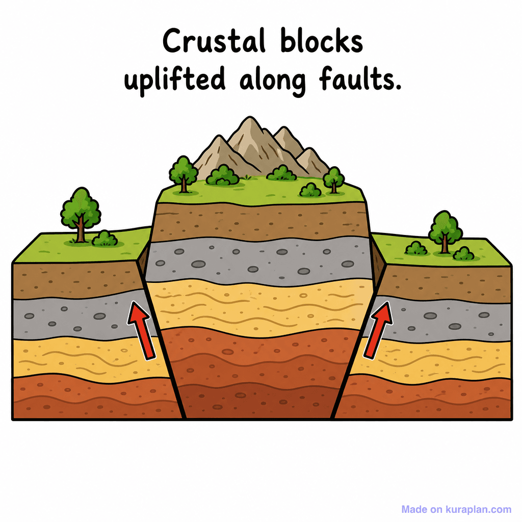
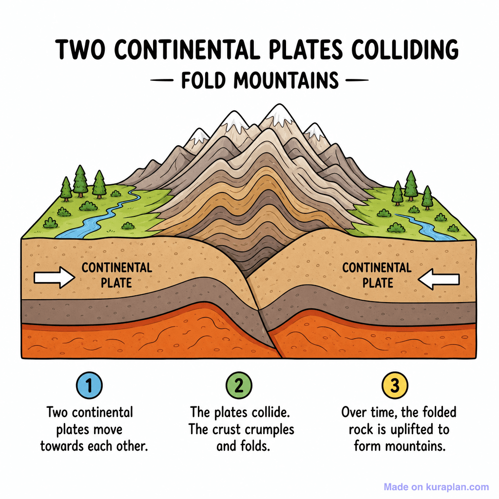
This cartoon-style cross-section diagram illustrates the geological process of crustal uplift along faults. It depicts three distinct blocks of earth's crust, each composed of multiple rock layers in varying colors and textures, from dark brown at the bottom to green topsoil. The central block is significantly elevated, forming mountains on its surface, while the outer blocks have lower terrain with trees and bushes. Two red arrows clearly indicate the upward movement of the central crustal block relative to the sides, with the text "Crustal blocks uplifted along faults." printed above. This image is ideal for teaching concepts related to plate tectonics, fault lines, and mountain formation in Earth Science, suitable for a slide presentation or a worksheet activity.
How to use
- 1Right-click the image and choose “Save image as”, or use the download button.
- 2Use it in your classroom worksheets, slides or printables — free under CC BY-NC 4.0.
- 3Attribute as “Image by Kuraplan” or link back to kuraplan.com. Not for commercial resale.
Make worksheets with images like this
Kuraplan's editor has the full image library built in — drag-and-drop into a worksheet in seconds.
Related illustrations
More from Mountains & Tectonics
Browse by subject
18 subjects · 5,159 free illustrations

Maths
1,912 free illustrations

Cross-Curricular
839 free illustrations

Science
818 free illustrations

English
625 free illustrations

Health
201 free illustrations
social_studies
178 free illustrations

Religious Education
140 free illustrations

Music
130 free illustrations

Art
66 free illustrations

Drama
56 free illustrations

social_sciences
48 free illustrations

History
47 free illustrations

arts
26 free illustrations

pe
25 free illustrations

te_reo_maori
24 free illustrations

tech
16 free illustrations

culture
7 free illustrations

languages
1 free illustrations