Continent Europe — free printable diagram
Free geography resource for teachers · CC BY-NC 4.0
About this illustration
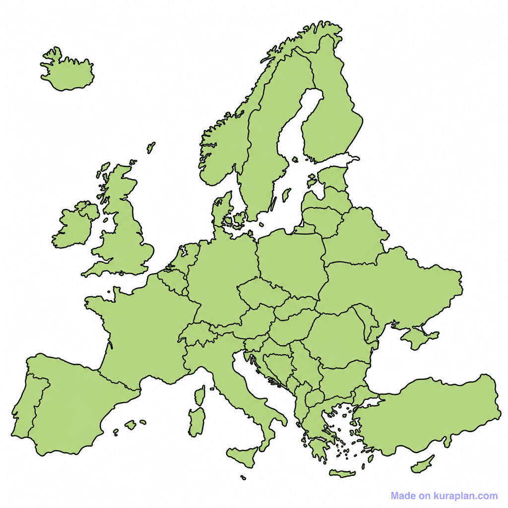
This image presents a blank political map of Europe, featuring light green landmasses with prominent black outlines denoting national borders. It is designed to teach geography, specifically the political divisions and countries of the European continent. This resource is excellent for UK, US, and international K-12 curricula. It suits classroom activities such as 'label the countries' worksheets, slide presentations for identification practice, or even coloring exercises. The visual style is a clear, flat outline illustration suitable for educational purposes. It's explicitly a blank template designed for student input.
How to use
- 1Right-click the image and choose “Save image as”, or use the download button.
- 2Use it in your classroom worksheets, slides or printables — free under CC BY-NC 4.0.
- 3Attribute as “Image by Kuraplan” or link back to kuraplan.com. Not for commercial resale.
Make worksheets with images like this
Kuraplan's editor has the full image library built in — drag-and-drop into a worksheet in seconds.
Related illustrations
More from Continent Outlines

Browse by subject
10 subjects · 1,487 free illustrations