
Aboriginal Songlines and Modern Roads
Exploring Ancient Navigation and Modern Connections Year 5 Geography 60 minutes

What Does 'Navigate' Mean?
Navigate means to direct the way to travel Finding direction across land or water using a map Maps help us travel between different locations Map symbols support navigation
World's Oldest Living Cultures
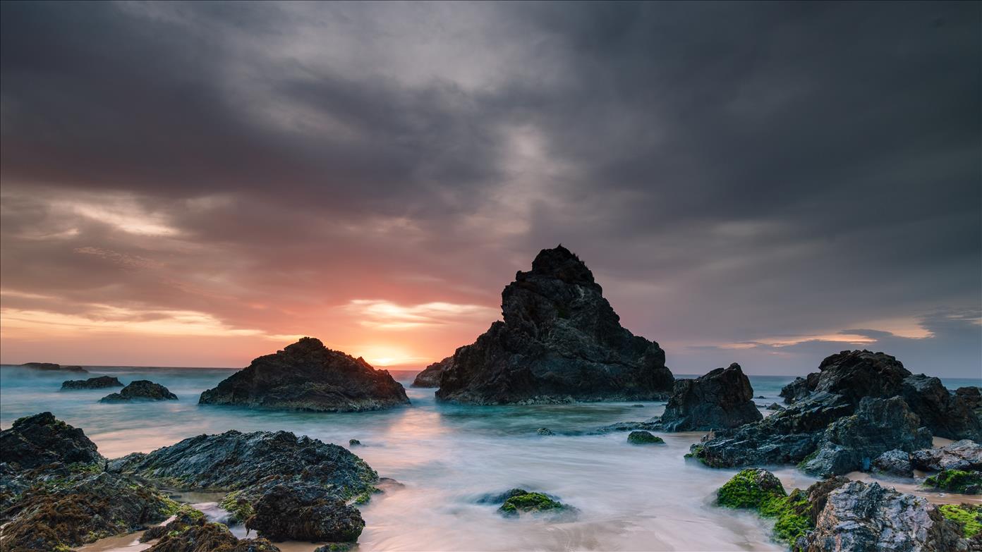
Aboriginal and Torres Strait Islander peoples have been mapping Country and Place as the world's oldest continuous living cultures for tens of thousands of years
Recording Navigation Knowledge
On your whiteboard, write one statement about how Aboriginal peoples navigate Country and Place Use appropriate terminology Think about the practices we've discussed
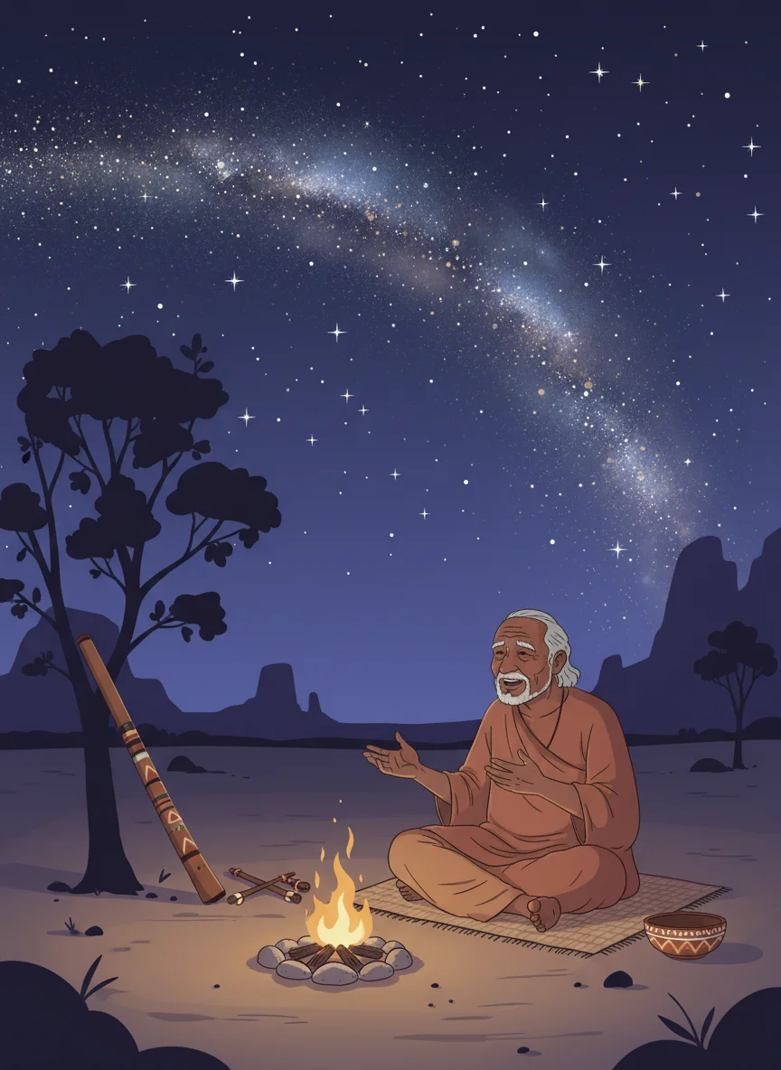
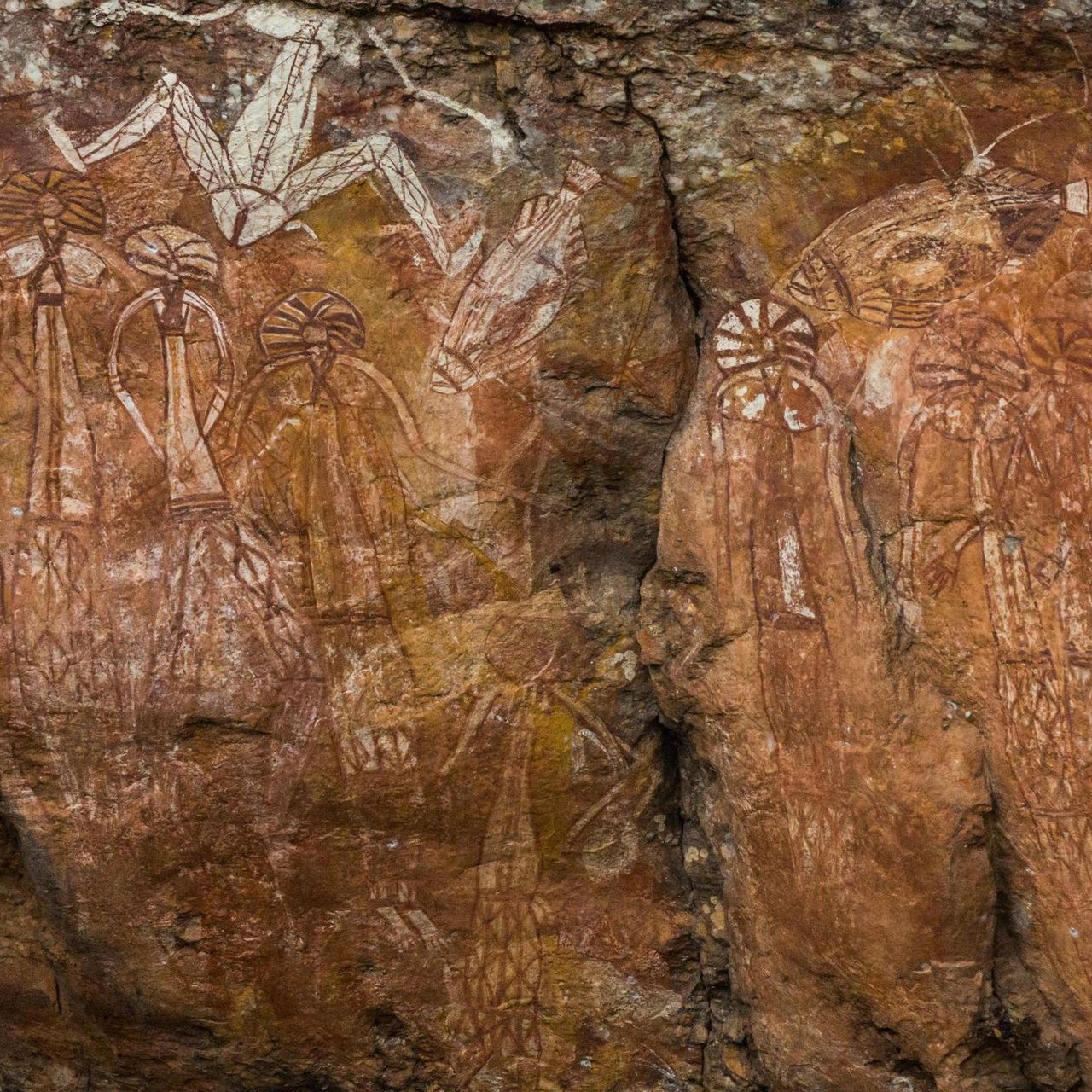
What Are Songlines?
Landmarks and travel directions in songs Travellers sing and memorise to navigate Some are called 'Dreaming Pathways' Follow routes created by Creator Spirits Connected to ancestral stories Include information about respectful travel
Think About Songlines
How do Songlines help people travel across the land? How do Songlines connect to stories and Cultural Knowledge? What similarities do you notice between Songlines and modern maps or GPS?

Songline Markers vs Modern Maps
{"left":"Scar trees mark locations like highway signs\nRiver bends show boundaries like state lines on maps\nRock formations give directions like road map arrows","right":"Natural features guide travellers\nStories contain navigation information\nCultural knowledge embedded in directions"}

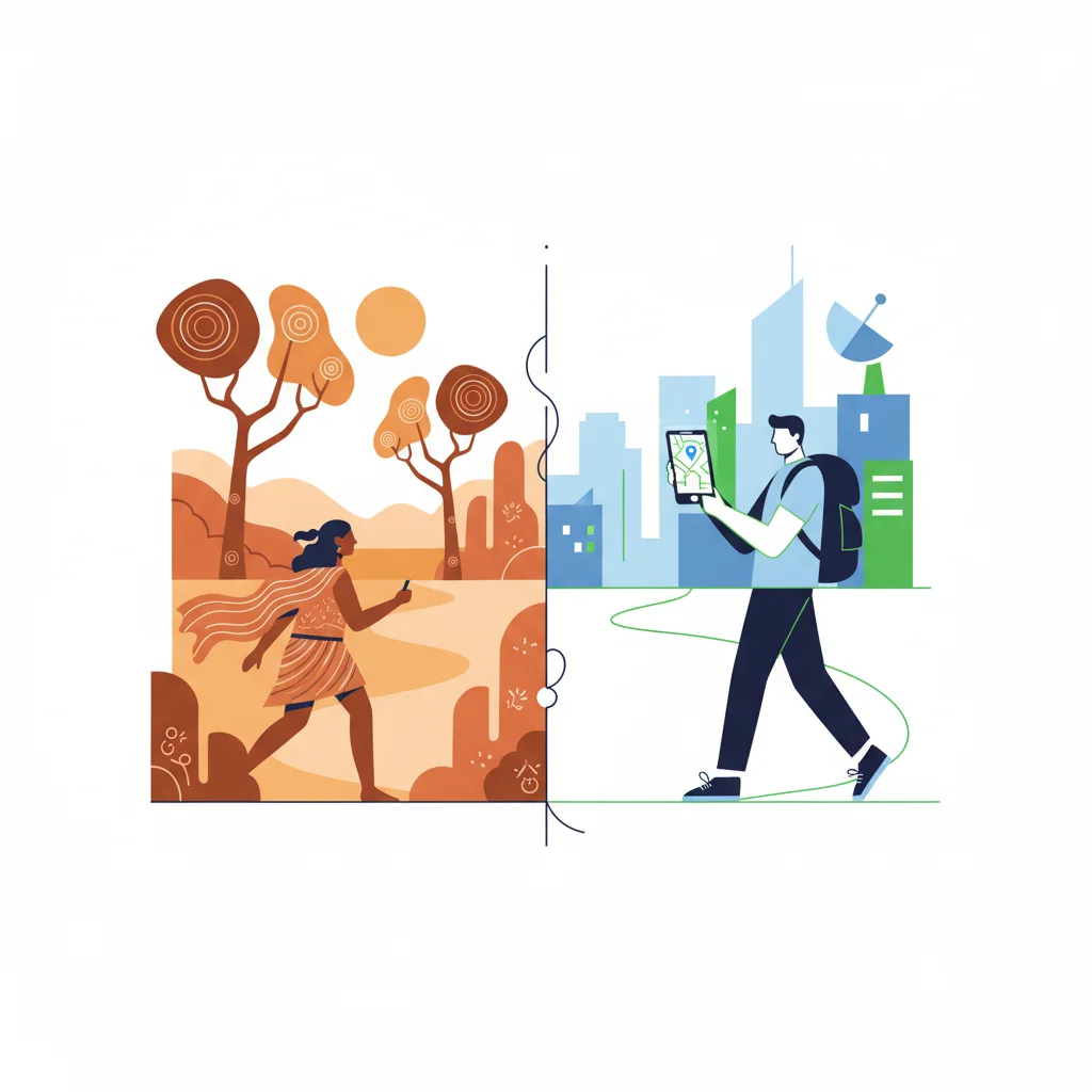
From Ancient Paths to Modern Roads
Many Songlines helped form today's road networks Ancient trade routes became modern highways Main tracks continued to be used over time Towns and cities connected by these routes Traditional knowledge influenced modern planning
Comparing Routes: Then and Now

Summarise Your Learning
Write a short paragraph about: How Aboriginal peoples navigated Country in the past The connection to today's roads Use key terms: navigate, Songlines, Country, markers